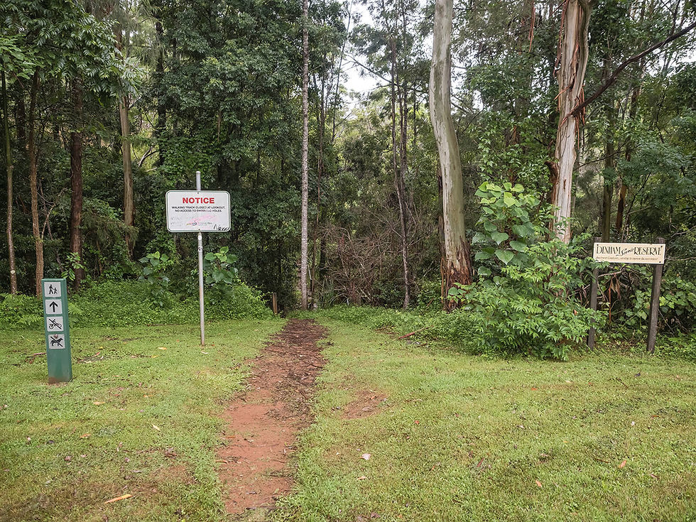
Denham Falls Track
Scenic Rim
Denham Scenic Reserve
A short walk through rainforest to a constructed lookout with fantastic views of the falls and Back Creek Gorge.
This moderately trafficked, well-marked trail is found in the Denham Scenic Reserve, located off Doncaster Road in Beechmont.
The walk begins about 100 metres into the park, where a sign and donation box are located.
A small set of stairs leads to a creek crossing, before you begin an undulating walk through rainforest, featuring a number of stairs and wooden footbridges.
Much of the walk backs onto private properties, so it is important to be respectful and stick to the path. Keep the creek to your right and avoid the side-tracks which don’t lead anywhere interesting.
The constructed lookout provides fantastic views over Denham Falls, as well as into Back Creek Gorge.
While the path continues, this is an old path to Lip Falls, which is now closed to the public due to its access being on private property.
Track: Graded and well-signed, with steps in places, and railings at the lookout. The track is easy to follow, with limited elevation.
Difficulty: The track is suitable for all fitness levels. Care should be taken at the creek crossing, as the rocks can be slippery, especially after rain
Direction: This is an out-and-back track that returns the way you came.
getting there
The trail starts from the park off of Doncaster Road in Beechmont, 1.25 hours drive south of Brisbane.
On road parking is limited and gets very busy on weekends. Be respectful of the surrounding residents and ensure you don’t park in restricted areas or block access to properties.
best time to go
The walk can be completed year-round.
Like all walks involving waterfalls, they are best done after recent rain, however the creek crossing may be flooded and dangerous to cross after heavy rain.
Remember, whenever venturing into the outdoors, practice the Leave No Trace principles and be considerate of others. This means: dispose of your waste properly, don't remove things or move things from their natural position and respect all wildlife. Also be sure to plan ahead and adequately prepare for any adventure.
I respectfully acknowledge the Traditional Owners of the land on which all activities listed on this website are found, as well as Elders past, present and emerging. I strive to not promote sites where requests have been made for people not to explore due to the cultural significance of the site to Indigenous peoples, or note how to respectfully visit a site. If I have a promoted a site with cultural significance, please send me a message and let me know.


